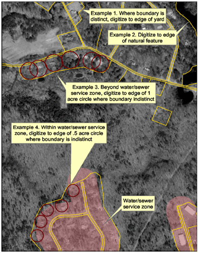
The NH Land Use Mapping Standard describes a classification scheme and mapping protocols for generating land use data from high resolution, remotely sensed data sources. The standard was developed by GRANIT staff at Earth Systems Research Center (ESRC), University of New Hampshire, in consultation with the Office of Energy and Planning and the nine Regional Planning Commissions in the state. It was informed by prior land use mapping projects conducted by Planning Commissions and GRANIT staff, as well as a series of discussions hosted by the NH Department of Environmental Services. This broad input yielded a standard which is designed to meet the land use mapping needs of a diverse community of users.
Application of Residential Digitizing Rules
Please click here to download the NH Land Use Mapping Standard.