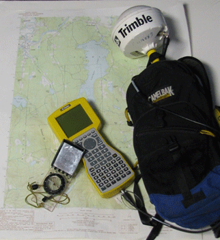
ProXRS GPS Unit

�
NH GRANIT makes every effort to use correction data from the closest base station available. Currently, the primary base stations used include NH Department of Transportation, University of New Hampshire, and Vermont Agency of Transportation. A list of over 2000 base stations throughout the world can be found on the Trimble website.
NH GRANIT uses Trimble ProXRS systems with Asset Surveyor v. 5.10. These are mapping grade units with the capacity to receive real time correction, and to collect, store and transfer data. Pathfinder Office v. 2.70 is used to transfer data to and from GIS applications and to post-process any points collected without real time correction.